
The Colony of Rhode Island had a Royal Charter. It had a government, a governor, and borders designated by the King himself. So why isn’t it on any map of New England for over 100 years? The answer goes deeper than one cartographer’s mistake. It traces back to a forgotten survey, a lost map, and a colony that nobody fought hard enough to put back on the record. Click here for an 11-minute story of how Rhode Island became erased from the map posted by the Story of Rhode Island on July 17, 2026.
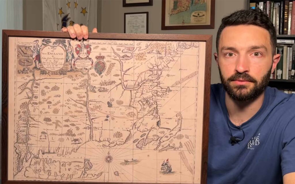

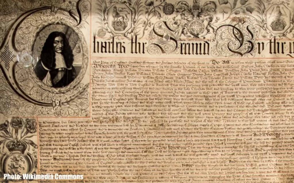
In this episode, Kevin Padula investigates why Rhode Island was erased from an entire era of New England cartography.
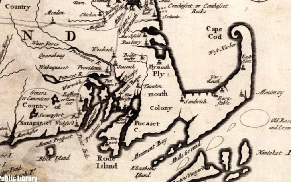

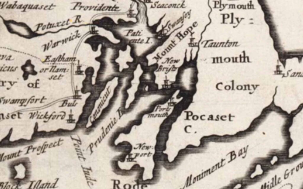
Starting with John Seller’s 1676 map of New England, he discovered that Rhode Island wasn’t just missing from one map, but from every map of New England created throughout the 17th and early 18th centuries.
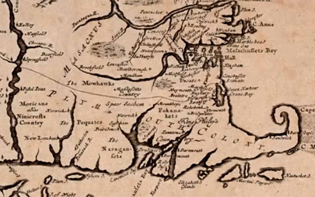
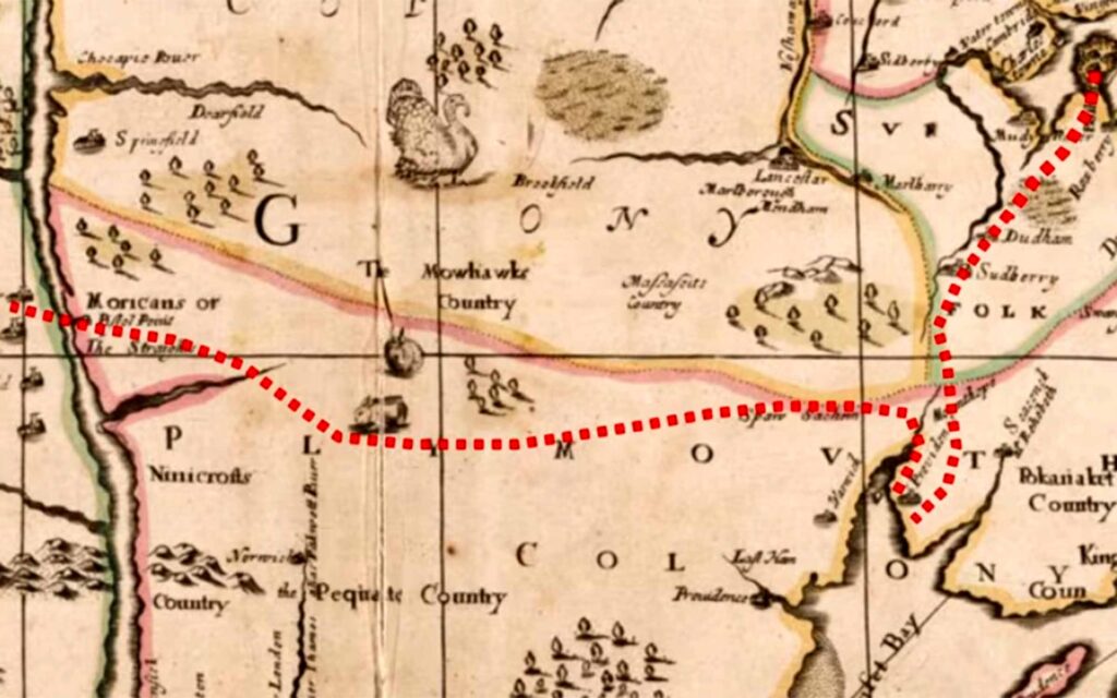
What he found along the way changed the entire scope of this project.