
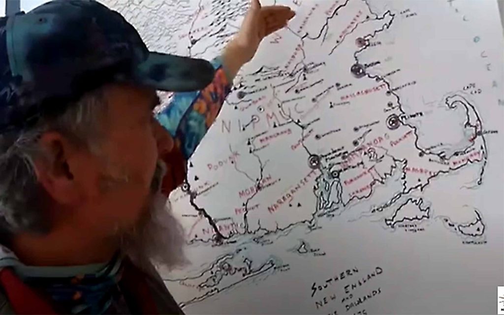
In this, the third episode of series on King Philip’s War, Stan Svec of the Fishing Historic Places web channel takes a look at the geography of the New England of 1675, which looked very different from what we are used to seeing today. He visits the geography of various battlefields and areas as the series a focuses on a look at 1675 New England. Click here for the 8-minute video posted on March 7, 2025.

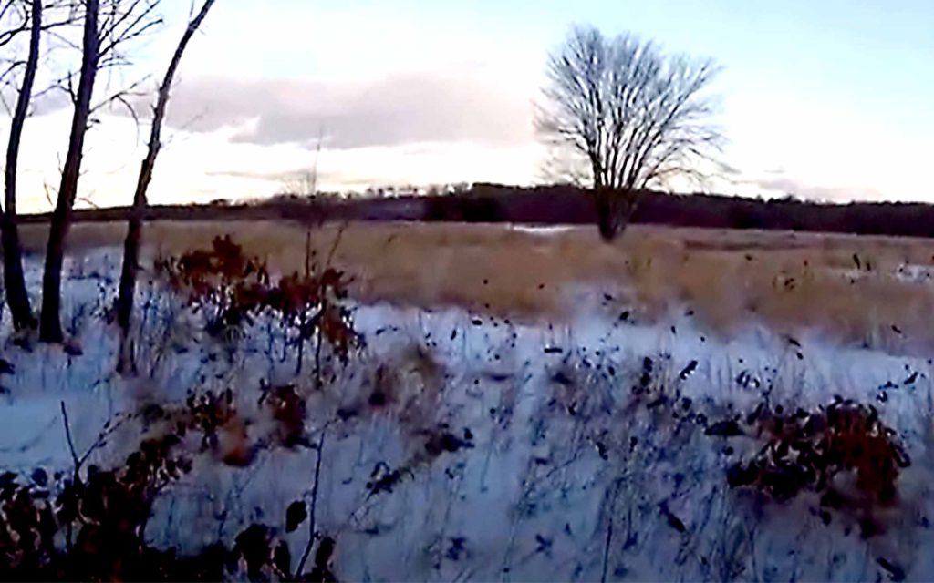
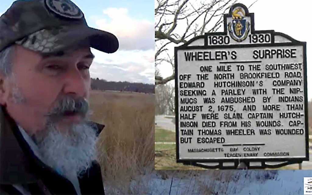
Rather than the dense forest often imagined, New England was a mixed landscape of field, forest, swamp and coast. In fact so many trees had been cleared by the Indigenous people along the rivers that a law was passed prohibiting cutting of trees there for firewood. Native warriors hid in the woods near Brookfield in order to ambush Edward Hutchinson’s company in Wheeler’s Surprise on August 2, 1675.
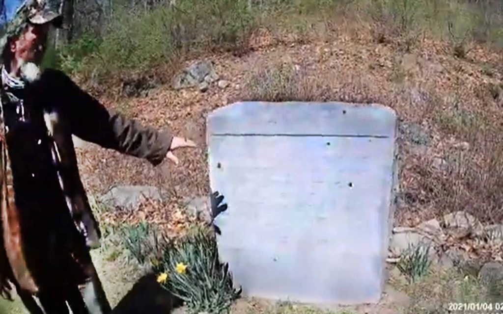
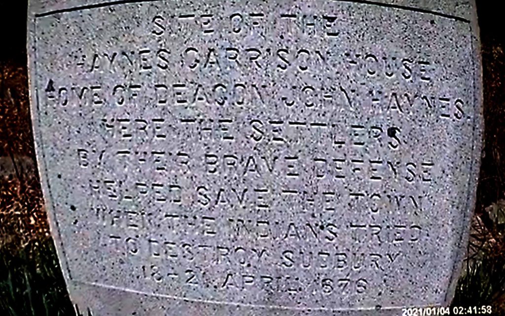
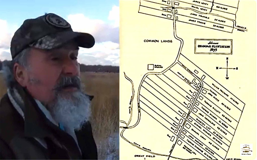
Stan points to a marker for the site of the Haynes Garrison House where settlers saved the town when King Philip and his Indian warriors attacked Sudbury in April, 1676. He also points out how livestock could be seen for as much as two miles across the clear fields at the edge of town.
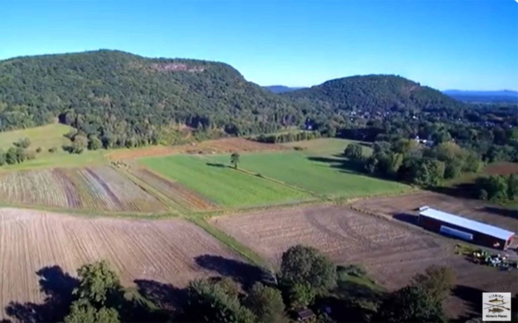
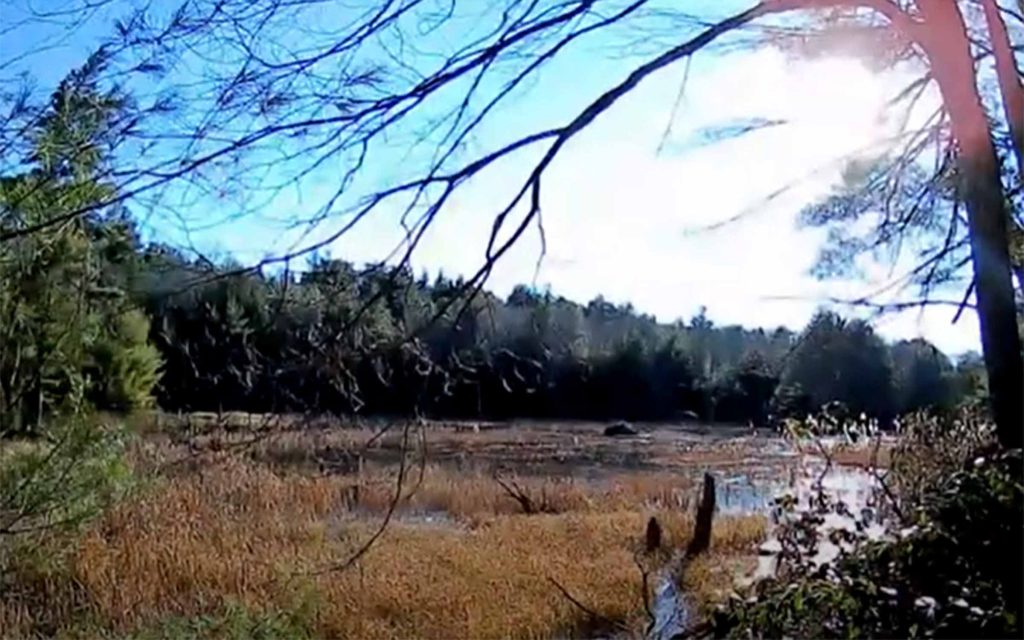
Native warriors hid in the woods on Sugarloaf Mountain or in the swamps that dotted the New England landscape.