
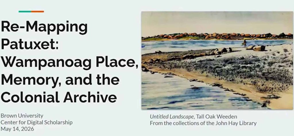
Wampanoag Place, Memory, and the Colonial Archive is an ongoing digital StoryMap project that reinterprets early colonial maps of the Northeast through Indigenous perspectives. Rather than treating 17th-century European maps as neutral or authoritative records, the project approaches them as products of ongoing processes of extraction—of land, knowledge, and Indigenous presence. Click here for a 58-minute video of the panel presentation posted on May 19, 2026 by Brown University.
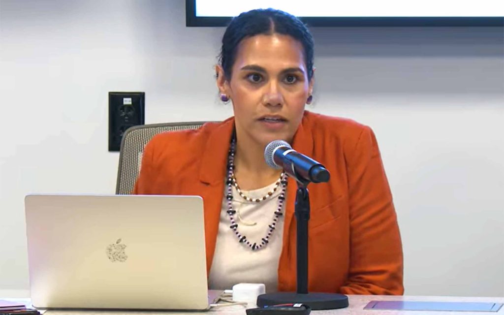
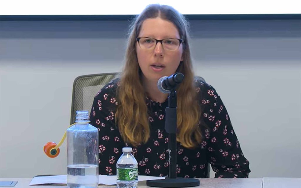
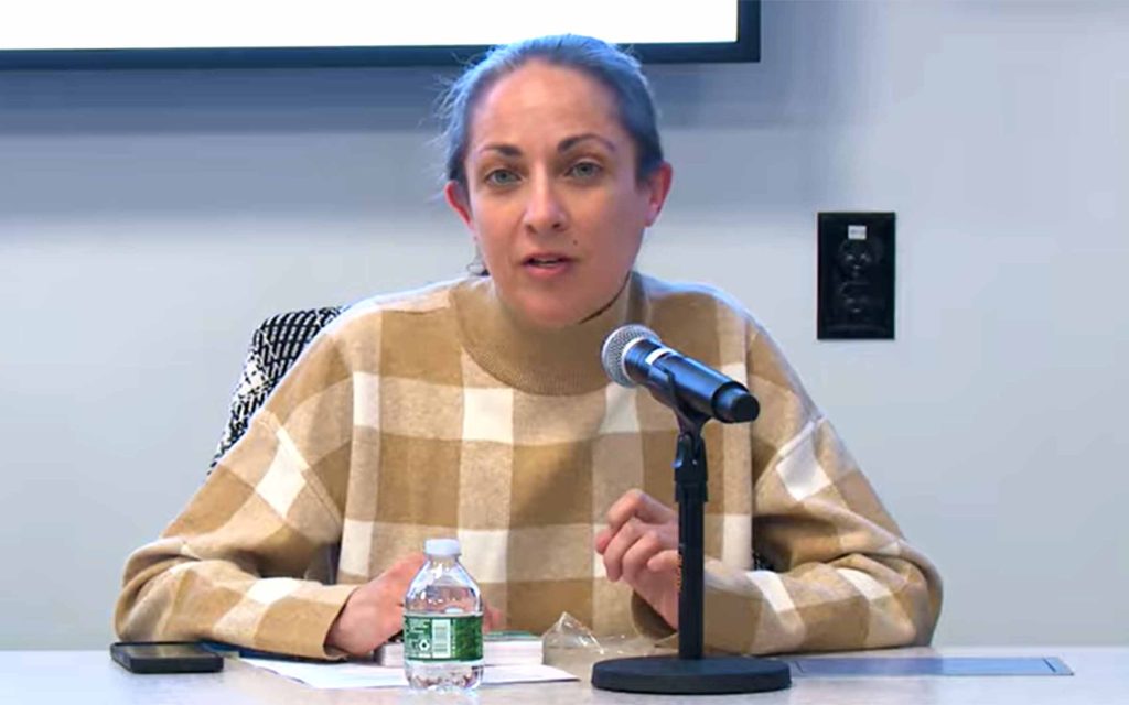
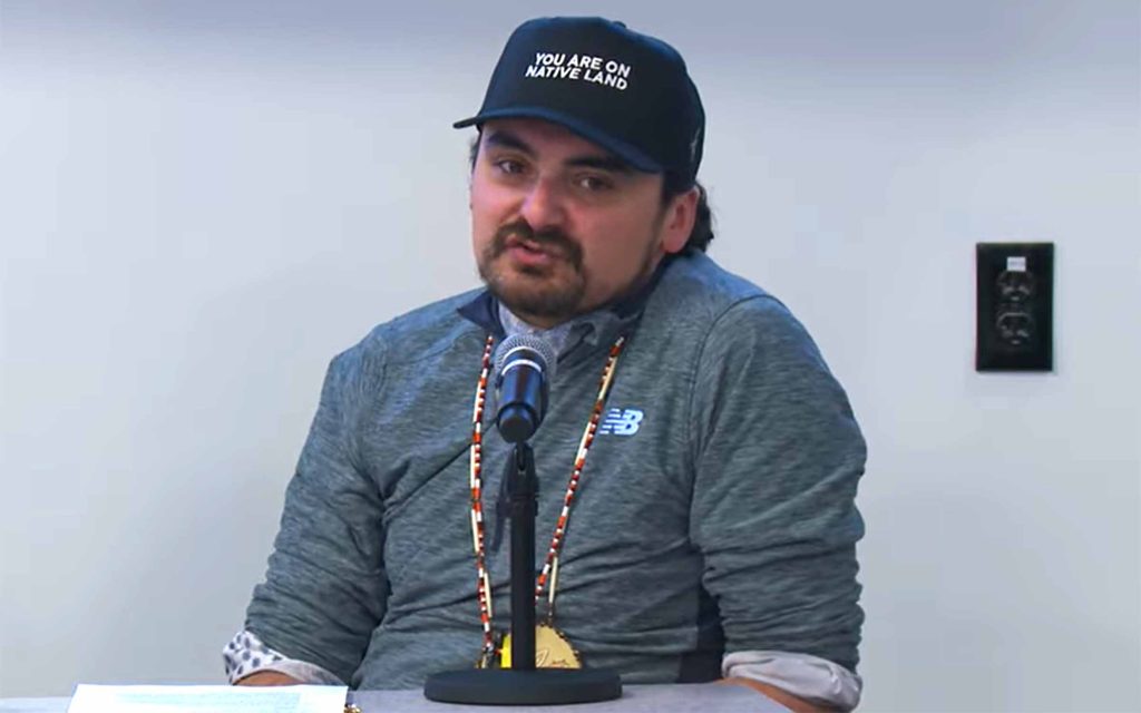
Presenters included (above) Kimberly Toney (Nipmuc), Coordinating Curator of Native and Indigenous Materials, John Hay and John Carter Brown Libraries; Allyson LaForge, Abbot Cummings Lowell Postdoctoral Fellow in American Material Culture, Boston University; Christine DeLucia, Associate Professor of History, Williams College; and (below, left) Brad Lopes (Aquinnah Wampanoag) Education Manager for the Wampanoag Tribe of Gay Head (Aquinnah).
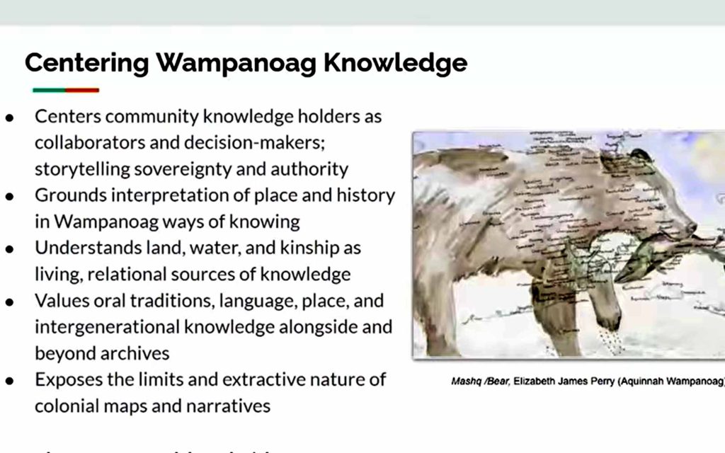
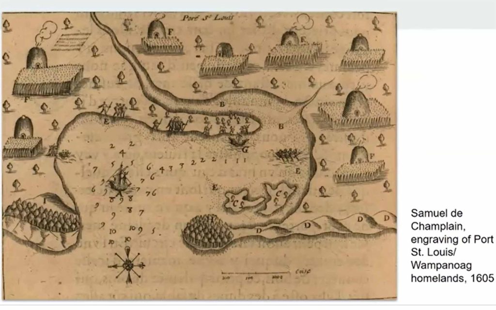
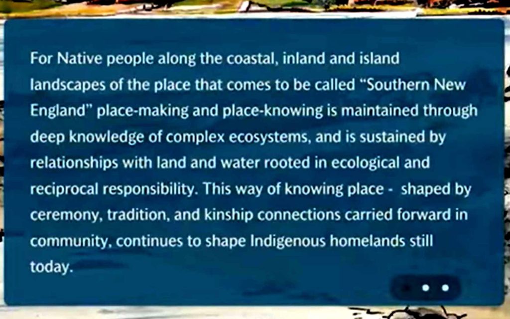
Focusing on the harbor known to Wampanoag People as Patuxet, this work interrogates colonial cartography alongside Indigenous knowledge, oral histories, and archival materials to reveal how these maps both document and distort longstanding relationships to place. Grounded in Wampanoag and broader Northeastern Woodlands ways of knowing, the project foregrounds ecological knowledge, kinship, reciprocity, and responsibilities across generations.
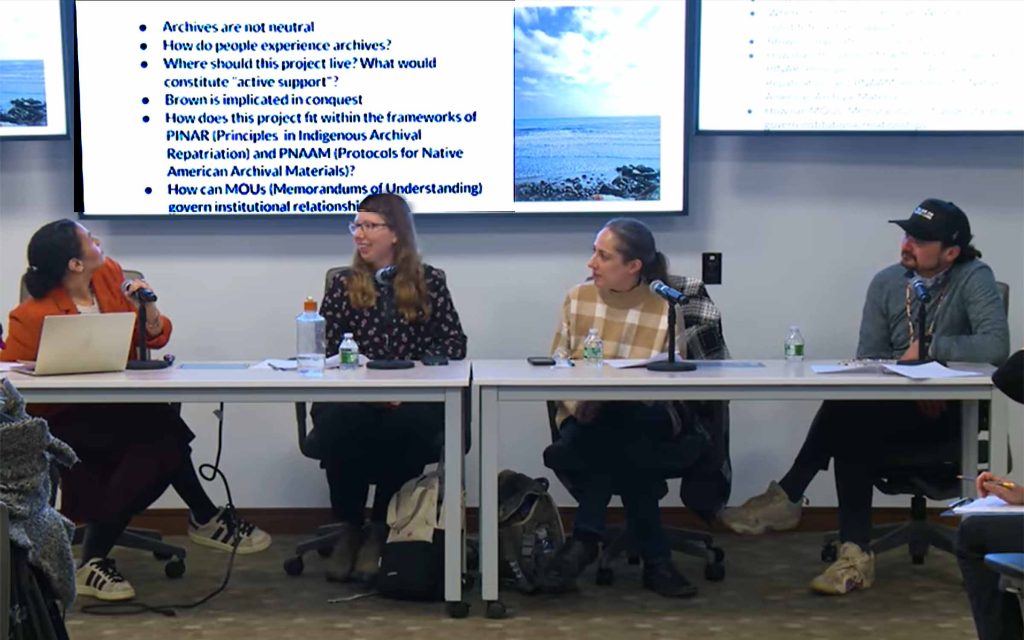
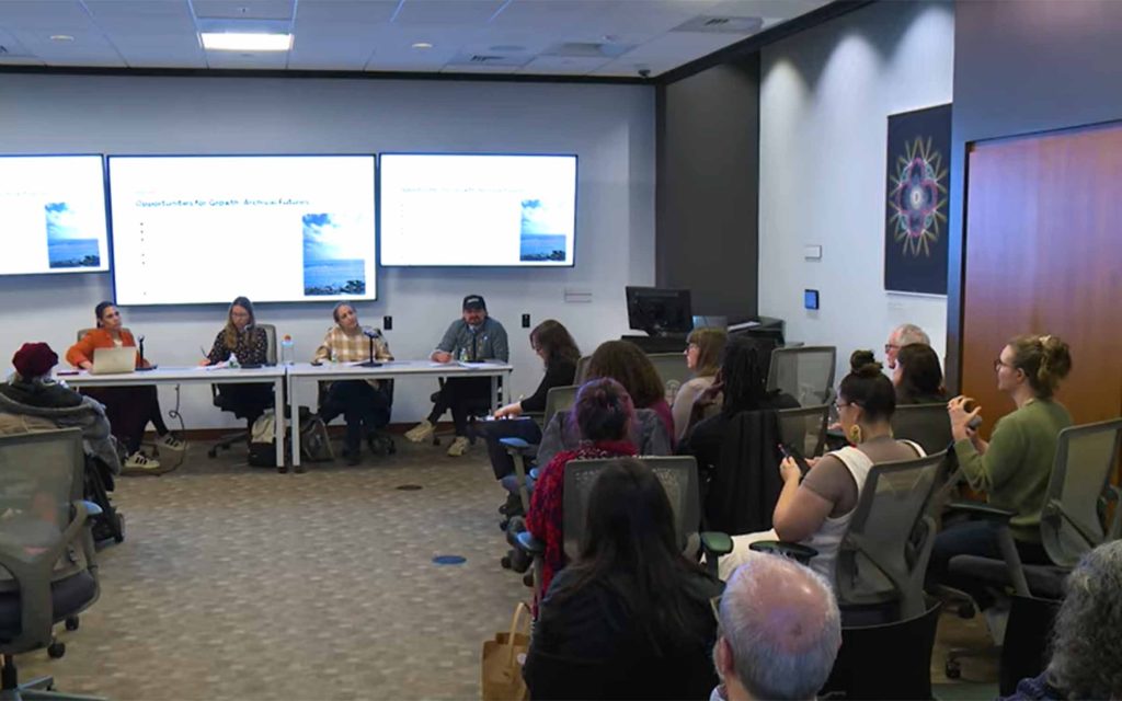
As a work in progress, this presentation emphasizes process over product. The presenters are sharing the development of the StoryMap to date, including approaches to community engagement, collaboration, and interpretive decision-making. In doing so, the project serves as a case study for Indigenous-centered methodologies that seek to recontextualize colonial archives while building toward a resource that is meaningful, accountable, and useful for community members, educators, and students.