
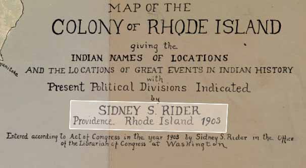
This Map of the Colony of Rhode Island, Giving the Indian Names of Locations and the Locations of Great Events in Indian History with the Present Political Divisions Indicated was drawn by Sidney Rider in 1903. The long name of the map (as well as the map itself) seems to be a device for rethinking colonial boundaries. Click here for a website about the map posted on October 30, 2024 by Mary Ritchie, Molly Lefanowicz, and Evan Friedman.
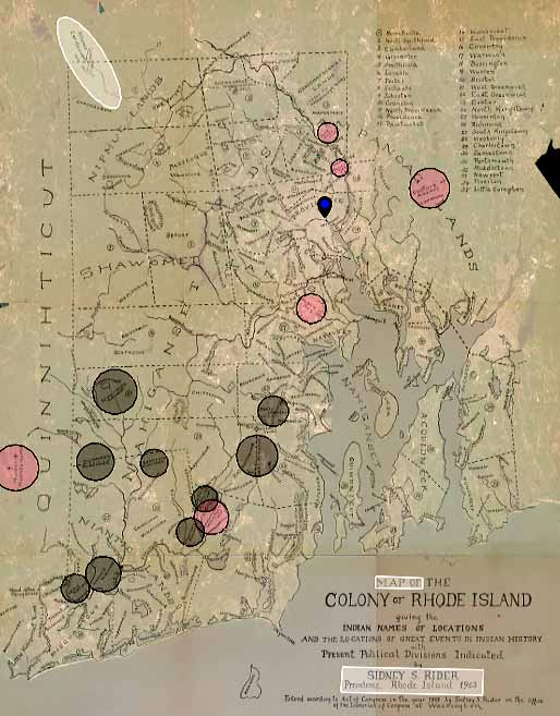
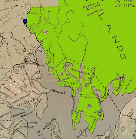
(Above) Rider’s representational technique of overlaying county boundaries on top of native land exposes the state of Rhode Island’s arbitrary boundaries that don’t coincide with indigenous land use (highlighted in white, the boundary spills over into Massachusetts). As indigenous people do not hold the same concepts of land ownership culturally, tribal boundaries were usually blurred, and typically followed that of major waterways and landscape features. With county boundaries layered on top of fluid indigenous areas, one can get a sense of the fragmentation of land (and people) imposed by the colonial grid system.
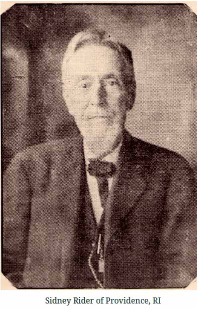
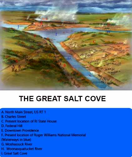
(Above, left) Sidney Rider (1833-1917) was a Providence bookstore owner and journalist, who issued a monthly periodical, “The Bibliomaniac”, devoted to literary interests and arts. Rider was a Rhode Island history buff who produced literature, maps, papers, and more. Described as a progressive “muckraker”, we believe Rider’s map is an early example of critical mapping. By overlaying colonial boundaries over native places and people, he’s calling attention to the idea that “what Rhode Island looks like” as not a fact, but rather a subjective idea to promote certain agendas (in this case, colonial Rhode Island). Pictured above right is an aerial oblique drawing of the Great Salt Cove, which depicts land inhabitation and management around the Cove. Indigenous people were active stewards of the land (controlled burns, cultivation, foraging, etc.), but this map doesn’t show how land might have been used or stewarded.
The very idea of plan view mapping does not come intuitively to indigenous people. As people who consider themselves a part of the land, to look down upon it lacks the inherent nature of being within it; it can be disorienting. While in some ways, Rider is enforcing this tactic through his use of the plan map, he is also using it as a tool to point out the erased indigenous histories presented through the colonial grid mapping of Rhode Island. We believe this could be considered a counter map itself, and would highly recommend watching the full video of Enote and the Zuni Counter Mapping Project (Below or HERE ).