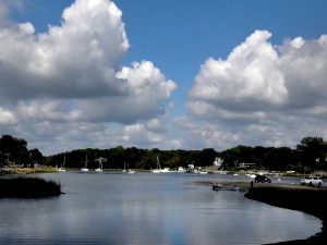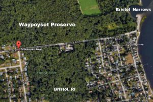
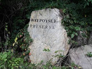
The Waypoyset Preserve is one of 45 land trusts in Rhode Island that have set aside land for preservation. It runs just north of 45 Narrows Road in Bristol to the Bristol Narrows at the mouth of the Kickemuit River in Mount Hope Bay. Trails can be accessed from the Narrows parking lot. Owned by the Falugo family for decades until it was purchased by the Town of Bristol in 1999 to prevent future development when an archaeological survey (Phase IC Archaeological Survey of the Falugo Property on Narrows Road in Bristol, RI, Cultural Resource Specialist of New England, August 1998) found artifacts and evidence of the site being used by humans for about 7,000 years. There may be more artifacts under the water as the water level has risen over that time. The land that has remained much as it was in the 17th century. Another eight acres across Narrows Road was purchased in 2002, bringing the total holdings of the Waypoyset Preserve Trust off Narrow Road to about 28 acres.

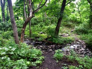
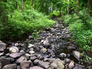
The trail begins at the Narrows parking lot and extends past a stream into the woods that occupy most of the 20 acres in the Preserve. Click here for a brochure about the trail. Click here for a 1999 Bristol Phoenix article entitled “Ancient Native American site found”.

The preserve supports a variety of indigenous plant and animals within its boundaries.