The Leventhal Map and Education Center at the Boston Public Library offered a 45-minute virtual session on historical geography with a focus on maps of early Boston. Click here to view the entire presentation.
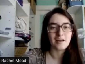
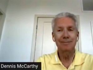
Public Engagement & Interpretation Coordinator Rachel Mead and volunteer Dennis McCarthy narrate this session, answer questions, and talk about the Map Center’s collections, tools, and more.
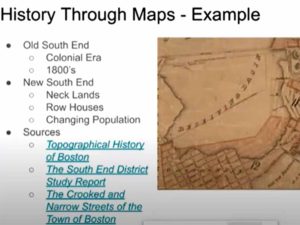
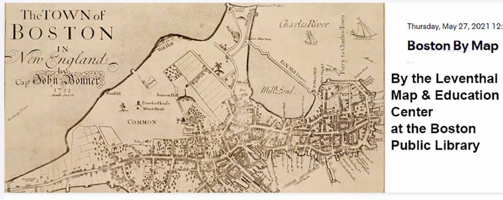
Beginning with maps of the early settlement of Boston in the 1600s, the narrators illustrate how maps in the Leventhal collection can be accessed through a variety of on-line sources.
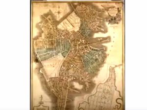
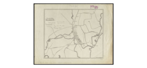
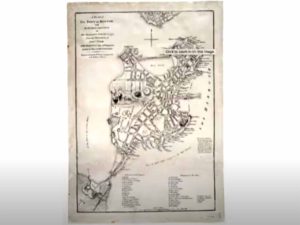
(Above, left) Later maps of Boston show how it grew from the original Shawmut Peninsula in the 1630s to the city today. (Above, right) Thousands of maps can be located in the Center’s digital collection, including this map of Providence in 1650 (click here to enlarge).